
What Is a Topographic Map?
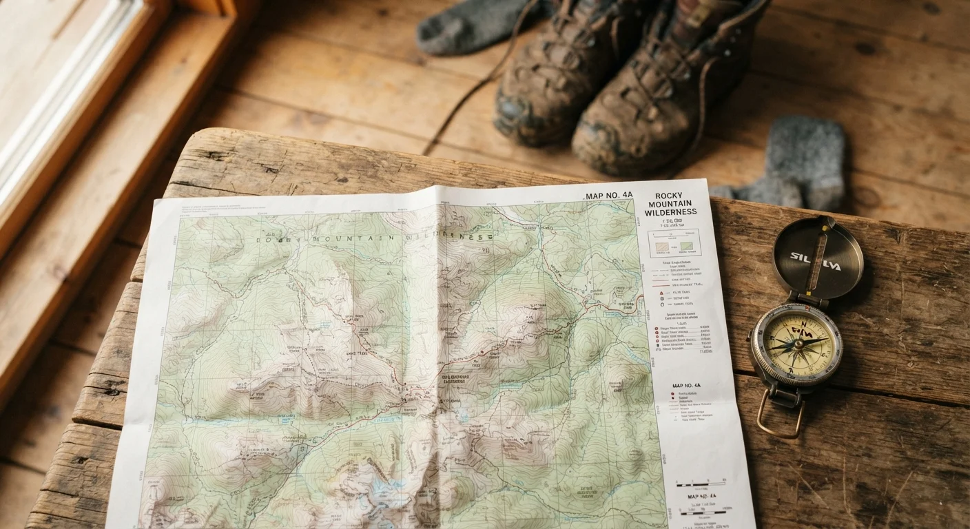
A topographic map - commonly called a topo map - is a two-dimensional representation of three-dimensional terrain. Unlike a standard road map, which shows only surface features, a topo map uses a system of lines, symbols, and colors to communicate elevation, landforms, water features, and human-made structures simultaneously.
The most widely used topo maps in the United States are produced by the USGS, organized into rectangular sections called quadrangles. Each quadrangle covers a specific latitude-longitude area and is named after a prominent local feature. If you're just getting started with outdoor navigation, our introduction to outdoor hobbies for adults is a helpful starting point before diving into map skills.
Understanding Contour Lines
Contour lines are the defining feature of any topo map. Each line connects points of equal elevation, so by reading their pattern, you can visualize the shape of the ground.
- Contour interval: The fixed elevation difference between adjacent contour lines. Check the map's legend - it's always printed there. A tightly packed interval means steep terrain; widely spaced lines indicate a gentle slope.
- Index contours: Every fifth line is printed darker and labeled with its elevation value. These are your anchors when calculating altitude or planning how much climbing a route involves.
- V-shapes pointing uphill: When contour lines form a V that points toward higher elevation, that indicates a valley or drainage. V-shapes pointing downhill indicate a ridge.
Closed Contours Don't Always Mean a Summit
A closed contour loop can indicate either a hilltop or a depression. Look for small tick marks pointing inward - those mark a depression, such as a sinkhole or crater. Misreading this can send you in completely the wrong direction.
Practicing contour interpretation is the fastest way to become fluent. Sketch what you expect terrain to look like, then compare it to photos - or better yet, visit the location itself.
Before you study the terrain, always read the map's legend and contour interval first - skipping that step is the single most common beginner mistake.
Different maps use different intervals; assuming the wrong value leads to serious misreadings of slope steepness and elevation gain.
Fold your map so only the section you're actively navigating is visible, and orient it to match your direction of travel - not to north - while moving through terrain.
Matching map orientation to your line of sight reduces the mental translation step and makes identifying landmarks far faster in the field.
Scale, Grid, and Orientation
Map scale expresses the ratio between a distance on the map and the corresponding distance on the ground. A scale of 1:24,000 means one unit on the map equals 24,000 of the same unit in reality - roughly 2,000 feet per inch. Larger-scale maps (smaller ratio numbers like 1:10,000) show more detail over a smaller area; smaller-scale maps (like 1:100,000) cover more ground with less detail.
Most USGS maps also carry a UTM grid (Universal Transverse Mercator) overlaid in blue, which divides the map into measurable squares useful for precise location reporting. The declination diagram in the margin shows the angular difference between true north and magnetic north at that location - essential for accurate compass work.
Magnetic Declination Matters
A compass points to magnetic north, not true north. The difference - called declination - varies by location and can be as large as 20 degrees in parts of the western United States. Every topo map includes a declination diagram in the margin; adjust your compass bearing accordingly before navigating.
Reading Map Symbols and Colors
Topo maps use a standardized color system to categorize features at a glance:
- Blue: Water - lakes, rivers, streams, wetlands, and glaciers.
- Green: Vegetation - forests, orchards, and scrub. Open land is left white.
- Black: Human-made features - trails, roads, buildings, power lines, and survey markers.
- Brown: Contour lines and land relief.
- Red: Major highways and land-grant boundaries on older maps; survey lines on newer editions.
- Purple: Revisions added from aerial photography since the original survey - these areas may have changed further since the revision.
Each map's legend decodes specific symbols for trail types, road classifications, and land boundaries. If you're planning a route that involves significant elevation change, cross-referencing the map with our day hike packing checklist will help you prepare appropriately.
1:24,000
Standard USGS topo map scale
The U.S. Geological Survey publishes most of its 7.5-minute quadrangle maps at this scale, meaning one inch equals 2,000 feet on the ground.
40 ft
Common contour interval in hilly terrain
Many USGS maps of mountainous regions use a 40-foot contour interval, though flatter areas may use 10 or 20 feet.
Putting It All Together in the Field
Reading a topo map in a comfortable room is one skill; using it while standing at a trail junction with tired legs is another. The bridge between the two is deliberate practice outdoors.
Start by orienting your map - rotating it so that north on the map aligns with north in the landscape, using a compass or identifiable landmarks. Then identify two or three visible terrain features - a ridgeline, a stream, a peak - and locate them on the map. That process of matching map to ground is called terrain association, and it's the core of all practical navigation.
Practice on Familiar Ground First
Download a topo map of your local park or neighborhood from the USGS National Map viewer before venturing into unfamiliar terrain. Walking terrain you already know while reading the map builds the visual vocabulary much faster than studying indoors alone.
As you gain confidence, you can layer in more precise techniques: taking compass bearings to triangulate your position, measuring distances using the scale bar, or using a GPS device to confirm a grid coordinate before making a critical route decision. For activities where terrain classification also matters - such as mountain biking - understanding elevation data from topo maps complements the trail rating systems you'll encounter at trailheads.
“The map is not the territory, but a well-read topo map gets you closer to understanding the territory than almost any other tool available to a hiker.”
— Garrett Conover, Wilderness guide and author on backcountry travel skills
With enough practice, reading a topo map becomes second nature - an intuitive conversation between you and the landscape rather than a puzzle to decode under pressure.